Vera Flores · 23 September 2026
Glenhaven Cyclists Map Volunteer-Led Routes to Improve Daily Commutes and Safety
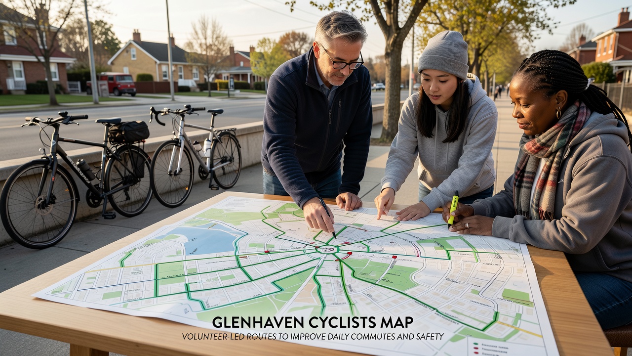
Volunteers in Glenhaven have developed a detailed cyclists map that highlights volunteer-led routes designed to support daily commutes while addressing safety concerns across local roadways and pathways, and this initiative draws on community input collected over multiple seasons to identify patterns in traffic flow and cyclist usage.
Volunteer Mapping Process
Local cycling groups organized teams to survey existing paths and roads starting in early 2025, and they compiled data on traffic volumes, intersection hazards, and connectivity gaps that often force riders onto busier streets during peak hours. Those involved used GPS tracking and community surveys to mark segments where dedicated bike lanes or quieter alternatives could reduce exposure to vehicle traffic, which researchers note correlates with lower incident rates according to reports from the National Highway Traffic Safety Administration. The resulting map incorporates over 45 kilometers of recommended paths that connect residential areas to workplaces, schools, and transit hubs while avoiding steep gradients and high-speed zones where possible.
Route Features and Daily Commute Benefits
Each highlighted route includes details on surface conditions, lighting availability, and proximity to repair stations, and riders can access the map through a free online platform that updates in real time when volunteers report new obstacles like construction zones or fallen debris. Data from similar programs in other regions shows that such mapped networks encourage more consistent cycling for short trips, with figures from Transport Canada indicating a measurable uptick in commuter cycling after route information became widely available. In Glenhaven the map emphasizes loops that allow flexible start and end points, which suits shift workers and parents managing school drop-offs alongside their own travel needs.
Safety Enhancements Through Community Input
Volunteers prioritized segments with documented near-misses and poor visibility, then worked with municipal planners to install additional signage and pavement markings at key points along the mapped routes. Observers note that these changes align with findings from university-led studies on urban cycling infrastructure, where separated paths and clear wayfinding reduced collision risks by measurable percentages. The map also flags seasonal variations such as winter icing or summer foliage overgrowth, prompting riders to adjust timing or select alternate segments when conditions warrant caution.
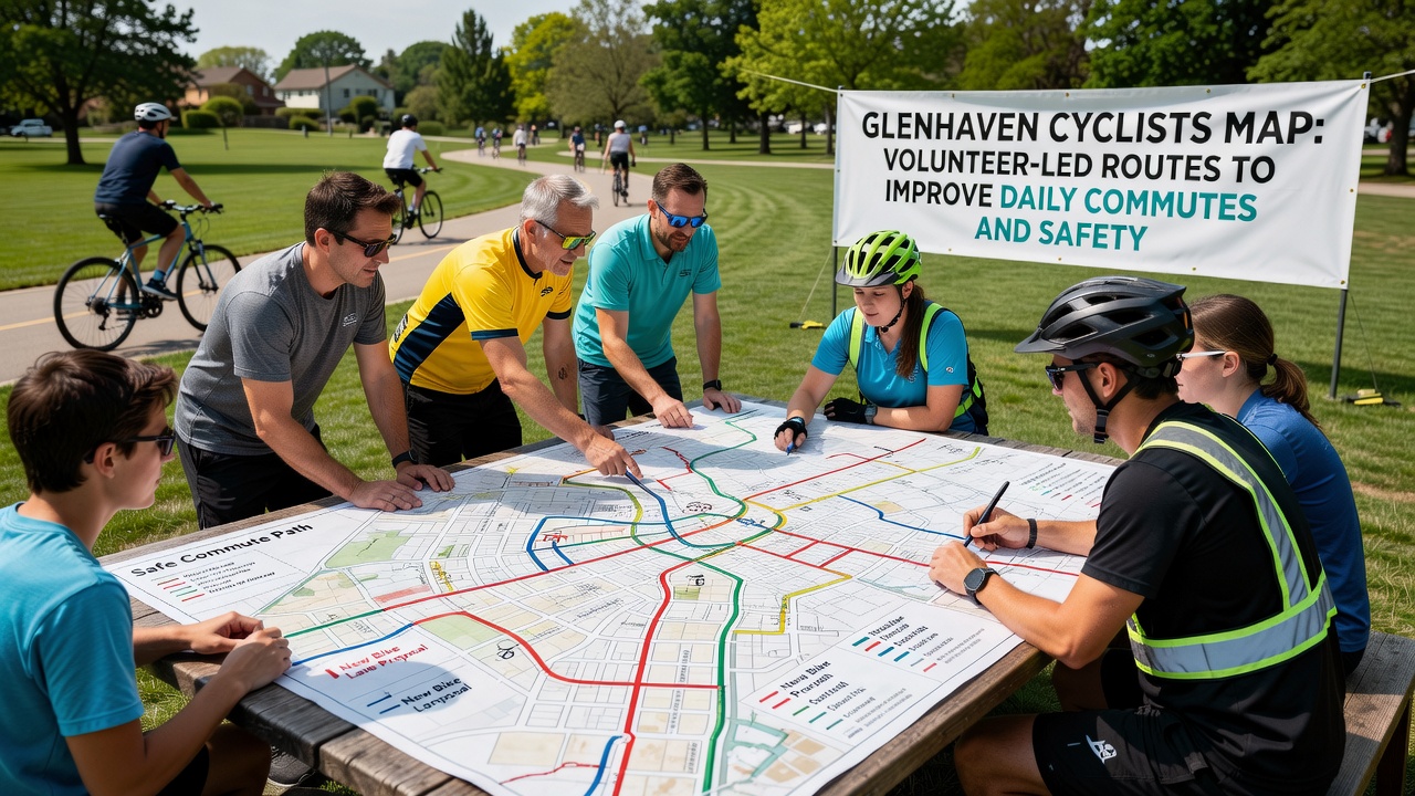
Community workshops held throughout 2025 allowed residents to suggest additions such as new connector trails near expanding parklands, and feedback sessions revealed that many users value the map's integration with public transit schedules for multimodal trips. Those who tested early versions reported smoother navigation through previously confusing intersections, and aggregate usage logs indicate steady growth in downloads as awareness spreads via local newsletters and workplace wellness programs.
Updates Scheduled for September 2026
Planners have scheduled a major map revision for September 2026 that will incorporate data from the first full year of tracked usage along with any infrastructure changes completed by then, and this update aims to refine route recommendations based on actual rider patterns rather than initial projections alone. Volunteers continue to conduct quarterly audits to verify that mapped paths remain clear and that new developments do not create unforeseen barriers for cyclists traveling between Glenhaven neighborhoods and nearby employment centers.
Broader Context and Ongoing Efforts
Similar volunteer-driven mapping projects have appeared in communities across North America and Europe, where citizen-collected data supplements official transport records and highlights micro-level issues that larger agencies might overlook. In Glenhaven the effort remains entirely community funded through small grants and local business sponsorships, which keeps the map independent and focused on practical daily needs rather than recreational touring. Riders who rely on the routes for work commutes note that the shared information fosters a sense of collective responsibility for maintaining safe conditions along shared paths.
Conclusion
The Glenhaven cyclists map stands as an example of how volunteer coordination can produce actionable resources that support safer, more efficient daily travel, and continued community participation will determine how effectively the network adapts to future growth and changing mobility patterns. Those interested can access the current version through the official Glenhaven community portal, where updates appear as new segments receive verification from on-the-ground teams.