Avery Russell · 9 September 2026
Glenhaven Birdwatchers Document Rare Species Sightings in Expanding Urban Green Spaces
Observers in Glenhaven have tracked a steady increase in rare bird species within the city's growing network of urban green spaces over recent years, with documented sightings rising in tandem with park expansions and habitat restoration projects. Local birdwatching groups coordinate regular surveys that combine traditional field notes with digital recording apps, creating detailed records that feed into larger biodiversity databases. These efforts have highlighted species such as the cerulean warbler and the least bittern, both of which appear more frequently in restored wetland pockets and tree corridors that connect fragmented habitats across residential zones.
Expansion of Green Corridors and Habitat Connectivity
City planning records show that Glenhaven added more than 120 hectares of protected green space between 2020 and 2025 through targeted acquisitions and redevelopment of former industrial sites. These new areas link existing parks via planted buffers along waterways and utility easements, forming continuous corridors that allow birds to move safely between feeding and nesting sites. Data collected by volunteer teams indicate that connectivity improvements correlate with higher detection rates for migratory species that previously bypassed the urban core. In September 2026, a coordinated survey across three newly linked sites recorded 14 individuals of the golden-winged warbler, a species whose regional population has declined sharply in surrounding agricultural landscapes.
Researchers from regional universities have partnered with Glenhaven groups to map vegetation structure within these corridors, noting that mixed-age tree canopies and native understory plantings provide the layered habitat required by many declining warblers and sparrows. Soil moisture monitoring at restored wetlands further shows improved conditions for invertebrate prey that support insectivorous birds throughout the breeding season.
Survey Methods and Data Collection Practices
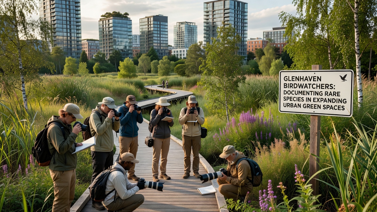
Birdwatchers employ point-count protocols at fixed locations every two weeks, supplemented by acoustic recorders that capture vocalizations during dawn and dusk periods when visual detection proves difficult. Each observation includes precise GPS coordinates, weather conditions, and behavioral notes such as foraging or territorial singing, allowing analysts to distinguish transient migrants from resident breeders. The resulting datasets undergo quality checks before submission to continental platforms that aggregate sightings from multiple municipalities.
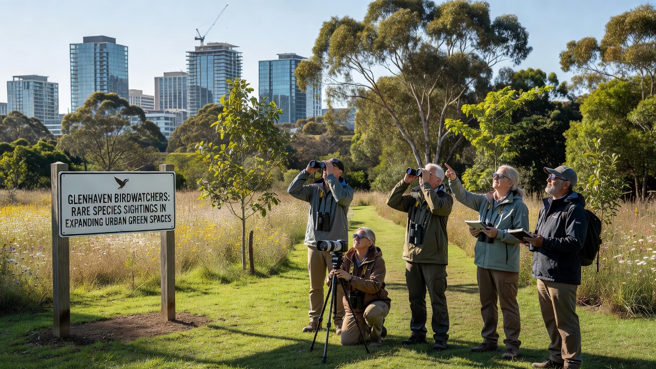
Training sessions run by experienced volunteers ensure consistent identification skills across participants, with emphasis on distinguishing similar-looking species through plumage details and song patterns. Equipment sharing programs provide newer members access to high-quality binoculars and recording devices, reducing barriers that might otherwise limit participation from diverse community segments. These standardized approaches produce comparable data year over year, revealing trends that single casual sightings cannot establish.
Contributions to Regional Conservation Records
Records compiled by Glenhaven participants contribute directly to eBird projects managed by the Cornell Lab of Ornithology, where verified sightings help refine distribution maps used by land managers across North America. Similar programs in other cities demonstrate that consistent volunteer monitoring can detect population shifts years before formal government surveys register changes. Cross-referencing with data from Environment and Climate Change Canada reveals parallel increases in several neotropical migrants at comparable urban restoration sites in southern Ontario, suggesting broader patterns tied to habitat availability rather than isolated local factors.
Local findings also support grant applications for continued expansion of green infrastructure, as funding agencies prioritize projects backed by measurable biodiversity outcomes. Species lists generated from these surveys appear in municipal environmental reports that guide future zoning decisions and maintenance schedules for public lands.
Challenges in Sustaining Long-Term Monitoring
Seasonal weather variations and occasional equipment failures create gaps in coverage that require supplementary efforts from core volunteers. Urban noise pollution sometimes interferes with acoustic recordings, prompting groups to schedule additional early-morning visits during peak migration windows. Coordination across multiple sites demands reliable communication tools and scheduling platforms that accommodate participants with varying availability. Despite these logistical hurdles, retention rates remain high because many participants value the combination of outdoor activity and tangible contributions to scientific understanding of urban ecosystems.
Conclusion
Systematic documentation by Glenhaven birdwatchers continues to supply verifiable records of rare species utilizing expanding urban green spaces, supporting both scientific databases and local planning processes. The combination of structured surveys, habitat improvements, and data-sharing networks demonstrates how community-led efforts integrate with broader conservation frameworks without requiring large institutional budgets. Ongoing monitoring through 2026 and beyond will determine whether current gains persist as the city continues to develop surrounding areas.